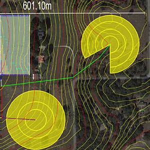
There is no need to manually calculate coordinates, reduce survey field books, or do manual plotting of the proposed terrain. IrriExpress converts survey data into a computerized DTM format using up to 9,000 survey points to generate a triangular surface model. It can also generate contour plans with data imported from ASCII co-ordinates, DXF, DWG, and GPS files.